Tips for trips
Stvořidla
Michal´s Farmstead
Churches near Lipnice
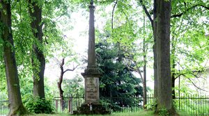
The Napoleonic Cemetery
GPS: 49°39’41.3″N 15°23’10.7″E
A military cemetery claimed a historic landmark in 1995. There are graves of soldiers who died of typhus in a military hospital in Světlá chateau in 1809-1814. In 1841 a granite obelisk with a sign in czech and german was erected there.
Jan Žižka´s Well
GPS: 49°40’32.120″N 15°28’6.133″E
The well is situated in a forest near village Dobrá Voda. According to a legend Jan Žižka drank from the well while he was chasing the crusaders to Německý (nowadays Havlíčkův) Brod. A monument of famous hussite military leader – a bust on a stone pedestal.
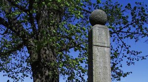
The memorial to the Abolisment of Corvee
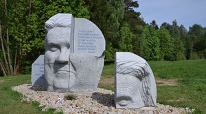
Head XXII
GPS: 49°37’21.4″N 15°23’20.2″E
Monumental masterpiece Head XXII was named after novel “Catch-22” by Joseph Heller. It is a granite sculpture of a head of Jaroslav Hašek, which is 265 centimetres tall and weights 18 tons. It is situated in open landscape near crossroads between Dolní Město and Lipnice. The Head consists of 8 segments to resemble a building set for children. There are 10 surfaces with a quotation of “The Good Soldier Svejk : And His Fortunes in the World War” in 10 languages including English.

CAESAR CRYSTAL BOHEMIAE, a.s.
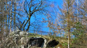
The rock
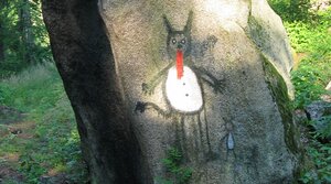
Devil´s Rock in Smrčná
GPS: 49°39’38.3″N 15°20’41.6″E
Devil´s Rock is situated in a wood near railway stop Smrčná.
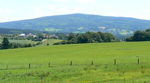
Melechov Hill
GPS: 49°38’18.4″N 15°19’12.0″E
Melechov Hill (715 m) is covered with forests. Measurment tower not accessible to the public is situated at its top. In the past the tower used to function as an observation tower. There is a little well under the top and the ruins of the 14th century fortress in its western foothills. Natural monument Čertův kámen (Devil´s Rock) – a granite rock formation with stone basins – can be found on the southern slope of the hill.
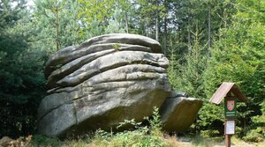
Devil´s Stone on Melechov Hill
GPS: 49°37’44.2″N 15°19’20.6″E
Devil´s stone was claimed natural monument in 1986. Total area of preserved place is 38,5 m2, protective zone is 111 m2. Devil´s Rock itself is an interesting granite outcrop formed by erosion, long-time dislocation of rocks and soil loss of gritty granite. A narrow crack devides it into two different parts tall 4 and 5,5 m.
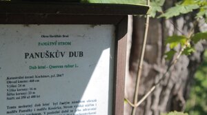
Panuška´s Oak
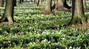
The Big and Small Alder Carry